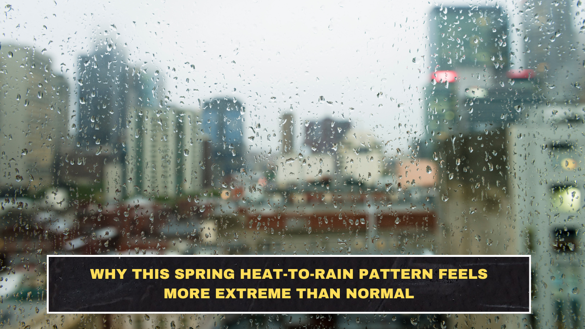
What people are feeling is real. India has been swinging between early heat build-up and sudden rain or storm breaks, and that makes daily life feel more uncomfortable than a simple “hot day” forecast suggests. IMD has already warned that above-normal heatwave conditions are likely across much of the country between March and May 2026, while late-March western disturbances have also brought rain, thunderstorms, gusty winds, hail and even snowfall to parts of north and central India. That is exactly why the season feels unstable rather than gradual.
The real discomfort is not just daytime heat. It is also warm nights. Indore, for example, saw a minimum temperature of 22.4°C, about 4°C above normal, before forecasts pointed to rain, thunderstorms and gusty winds of 30–40 kmph. Ahmedabad also reported minimum temperatures nearly 3°C above normal, even before weather systems began dragging temperatures down slightly. Warm nights matter because they reduce overnight relief, so the body does not reset properly before the next day’s heat.

What Is Driving This Pattern
The current late-March pattern is being shaped by two things happening together:
- early-season heat build-up
- western disturbances and local circulations that interrupt it with rain and storms
IMD’s March 24 and March 26 bulletins said two western disturbances in quick succession were expected to affect northwest India, with rain, thunderstorms, lightning and gusty winds spreading into several regions. That means the atmosphere is not moving neatly from spring to summer. It is heating up, then getting interrupted, then heating again.
The Simple Breakdown
| Pattern | Latest data point | Why it feels harsher |
|---|---|---|
| Early heat | IMD warned of above-normal heatwave days from March to May | Heat started feeling aggressive too early in the season. |
| Warm nights | Indore minimum 22.4°C, around 4°C above normal | Nights stop feeling like recovery time. |
| Sudden rain break | Ludhiana’s temperature dropped to 30°C, 2°C below the previous day after rain | Quick cooling makes the weather feel erratic, not stable. |
| Wind and storm bursts | Many areas are seeing 30–50 kmph gusts, with higher local bursts | Daily routines get disrupted even without heavy all-day rain. |
Why It Feels Worse Than a Normal Seasonal Shift
A normal seasonal transition feels progressive. This one does not. Delhi has already shown that a warm, sunny day can sit under an active rain alert at the same time. Ludhiana got a brief break from heat after rain, but the same report said temperatures were expected to rise again within days. Indore’s report made the same point more bluntly: earlier weather systems this month gave only short relief before the heat returned. That repeated heat-relief-heat cycle is what makes the pattern feel more exhausting than a steady rise in temperature.
There is also a bigger seasonal issue underneath this. Recent reporting noted that several Indian cities have already touched 40°C in March, while experts have warned that spring is becoming less distinct and more easily overrun by early summer-like conditions. A brief shower can soften the air for a day or two, but it does not undo the broader heat trend. It just interrupts it.
What This Means for Daily Life
This pattern matters because it affects more than comfort:
- commutes get harder when hot afternoons turn into windy or stormy evenings
- sleep quality worsens when nights stay unusually warm
- outdoor plans become harder to trust because the weather flips fast
- health stress rises when people move between heat exposure and sudden storm relief without consistency
That is why people keep saying the season feels “off.” They are not imagining it. The city-level reports and IMD bulletins point to the same thing: unusual warmth, short-lived cooling, and repeated instability.
What Readers Should Watch
Focus on these signals instead of generic weather chatter:
- minimum temperatures, not just daytime highs
- gusty-wind and thunderstorm alerts, not just rain probability
- whether relief is temporary, because many current breaks are brief
- IMD’s broader heat outlook, since short rain spells do not cancel a hotter season ahead
Conclusion
This spring heat-to-rain pattern feels more extreme because it is combining early heat, unusually warm nights, and abrupt storm-driven interruptions instead of a smooth seasonal transition. The data points are already there: warm nights above normal, city temperatures jumping and then dipping, and IMD warning both of above-normal heatwave conditions and repeated rain-storm spells from western disturbances. The real story is not just that it got hot or that it rained. It is that the season is behaving in a more unstable, tiring way than people usually expect.
FAQs
Why are warm nights such a big deal in this weather pattern?
Because they reduce overnight cooling. Indore’s minimum temperature was about 4°C above normal, which shows why people feel drained even before the day heats up fully.
Is the rain actually ending the heat?
Only briefly in many places. Reports from Ludhiana and Indore both show that rain brought relief, but temperatures were expected to rise again soon after.
What is IMD saying about the bigger summer outlook?
IMD has warned that above-normal heatwave conditions are likely across much of India between March and May 2026.
Why does this season feel less predictable than before?
Because current conditions are being shaped by repeated western disturbances interrupting early heat build-up, creating a stop-start pattern of heat, cloud, storms and temporary cooling.